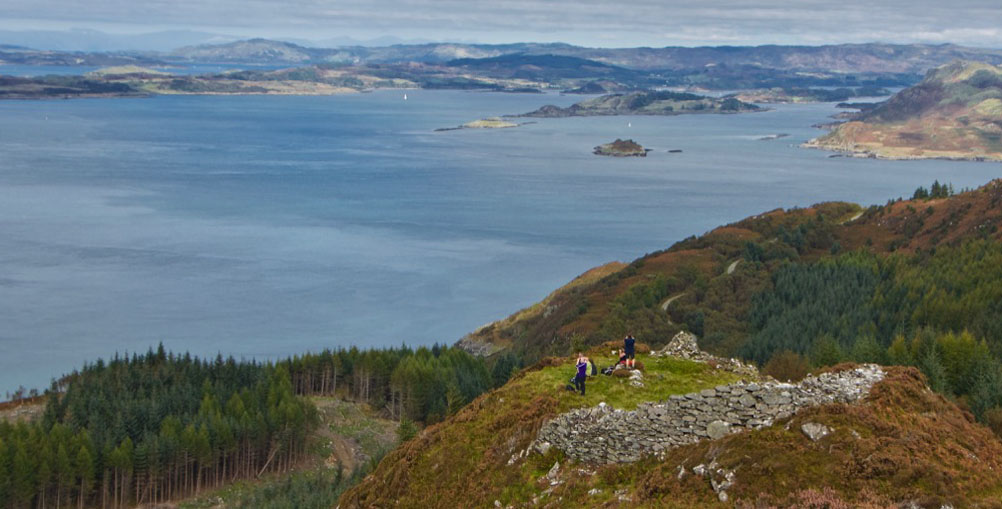
Castle Dounie
On the map of Knapdale in Argyll, the word ‘Dun’ is sprinkled liberally around the coast or just inland, printed in an enticing Gothic font. But often as not, all that remains of the site on the ground is a low earthwork, barely discernible beneath a generous topping of vegetation. Unless you have X-ray vision, duns can be annoyingly deceptive.
There are, however, a few examples that have survived better than others, and on a warm day last September we took a long walk to look at one of these: Castle Dounie, near Crinan.
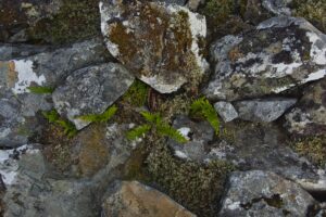 Castle Dounie’s name pretty much spells out what duns were intended to do. They’re not unique to Knapdale: they’re found right across Scotland, and also in Ireland. They were sometimes – but not always – circular in plan, and usually positioned on good vantage points such as knolls and promontories. Around here in particular, they had sweeping views of the sea, because that’s where most of their unwanted visitors would have come from. Dating them doesn’t seem to be very straightforward, but some local examples have been tentatively dated to the 3rd or 4th centuries BC, based on archaeological finds. Quite often, the structures were modified by later generations and occupied into early medieval times.
In historical explanations, duns are often mentioned in the same sentence as brochs. I still struggle to understand if there really is any difference between the two. I used to think that brochs were the better-preserved and more spectacular cousins of duns, because according to one train of thought, brochs were taller, wider, and had double-thickness walls that contained a staircase. However, this theory tends to get blurred, especially when you consider that some of our best examples of brochs are actually called duns. Examples that spring to mind are Dun Carloway on the Isle of Lewis, Dun Beag on Skye, and Dun Telve and Dun Troddan near Glenelg.
And the idea that duns were in any way inferior to brochs dissolves still further when you contemplate the scale and magnificence of Dún Aonghasa on the Aran Islands off County Galway. At this point, I give up. Maybe the builders called them duns to lure would-be invaders into a false sense of security. “Damn it, guys, I thought it was just a dun! That’s what it said on the map! We’d better go get reinforcements!”
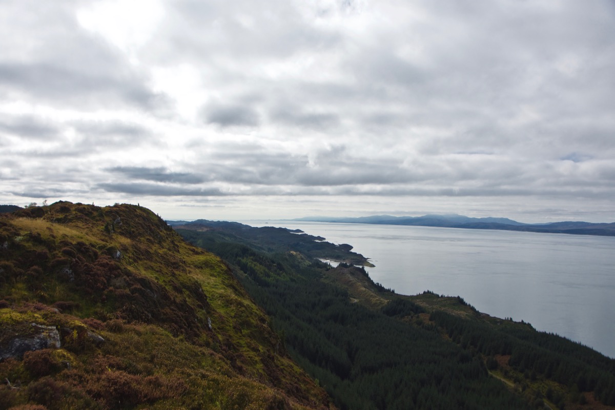
Anyway, I was fairly confident that Castle Dounie would offer something substantial to look at, and after a pretty steep hike through mixed woodland and along forestry paths, I was also expecting jaw-dropping panoramas. I wasn’t disappointed. You approach it from the north-east, walking alongside it and then stepping through what remains of the entrance, and suddenly the Firth of Lorn is spread out beneath your feet. It feels like you’re flying. On the far side of a mesmerising expanse of sea are the islands of Jura, Scarba and Mull; to the north-west rise the distant peaks of Morvern, while due north lies the ragged coastline of mainland Argyll. Above the low hills I thought I could even pick out the summits of Ben Cruachan and Glen Coe.
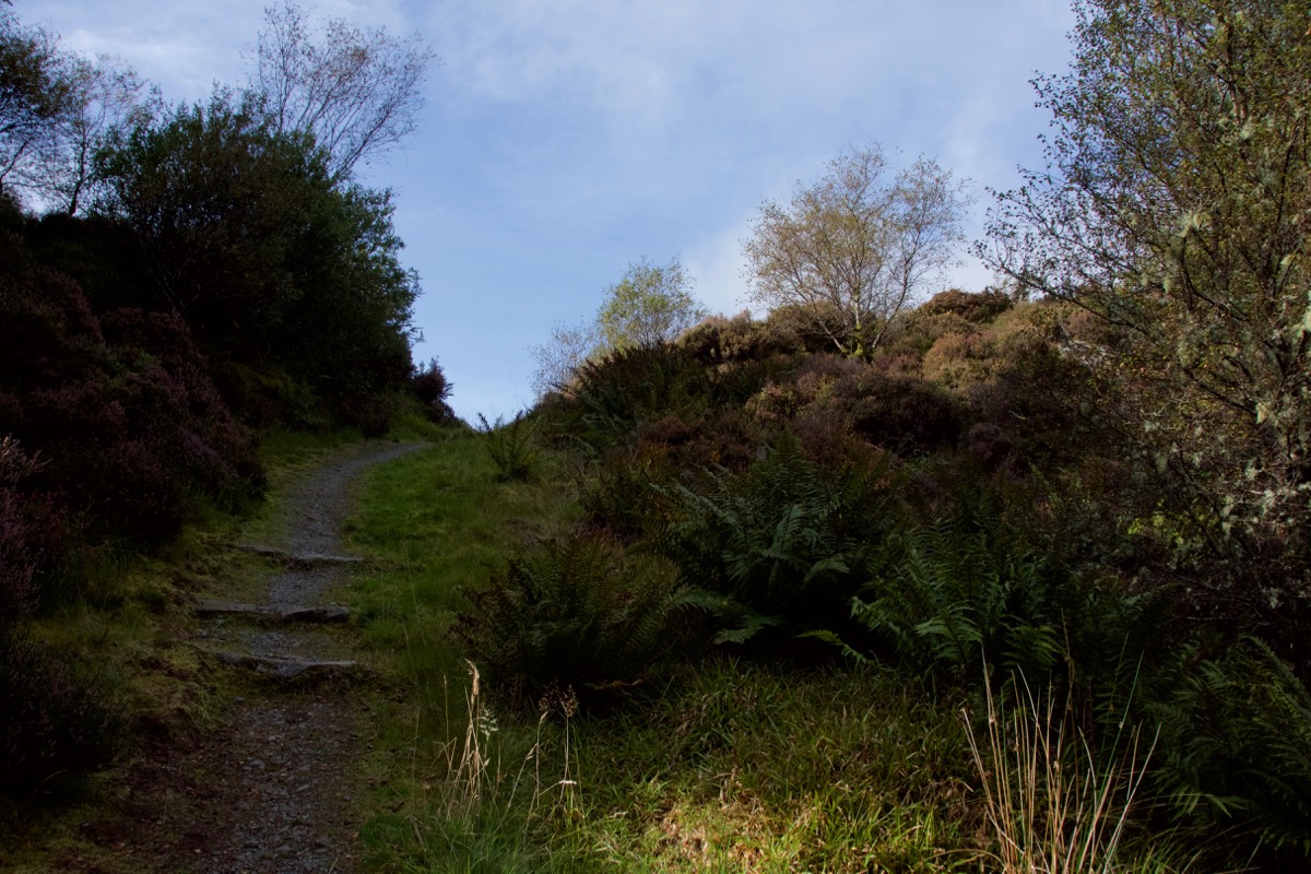
Approach (above and below)
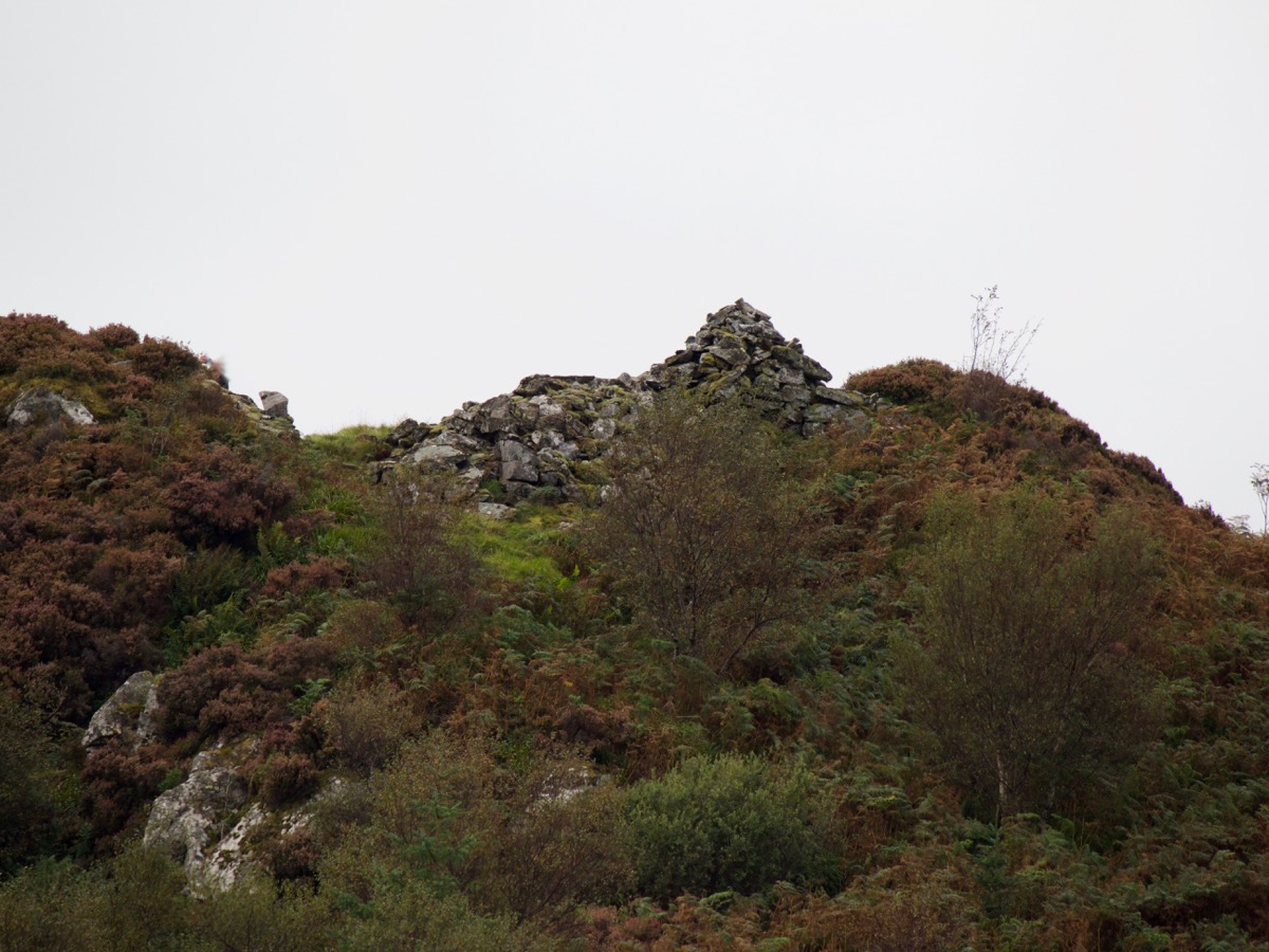
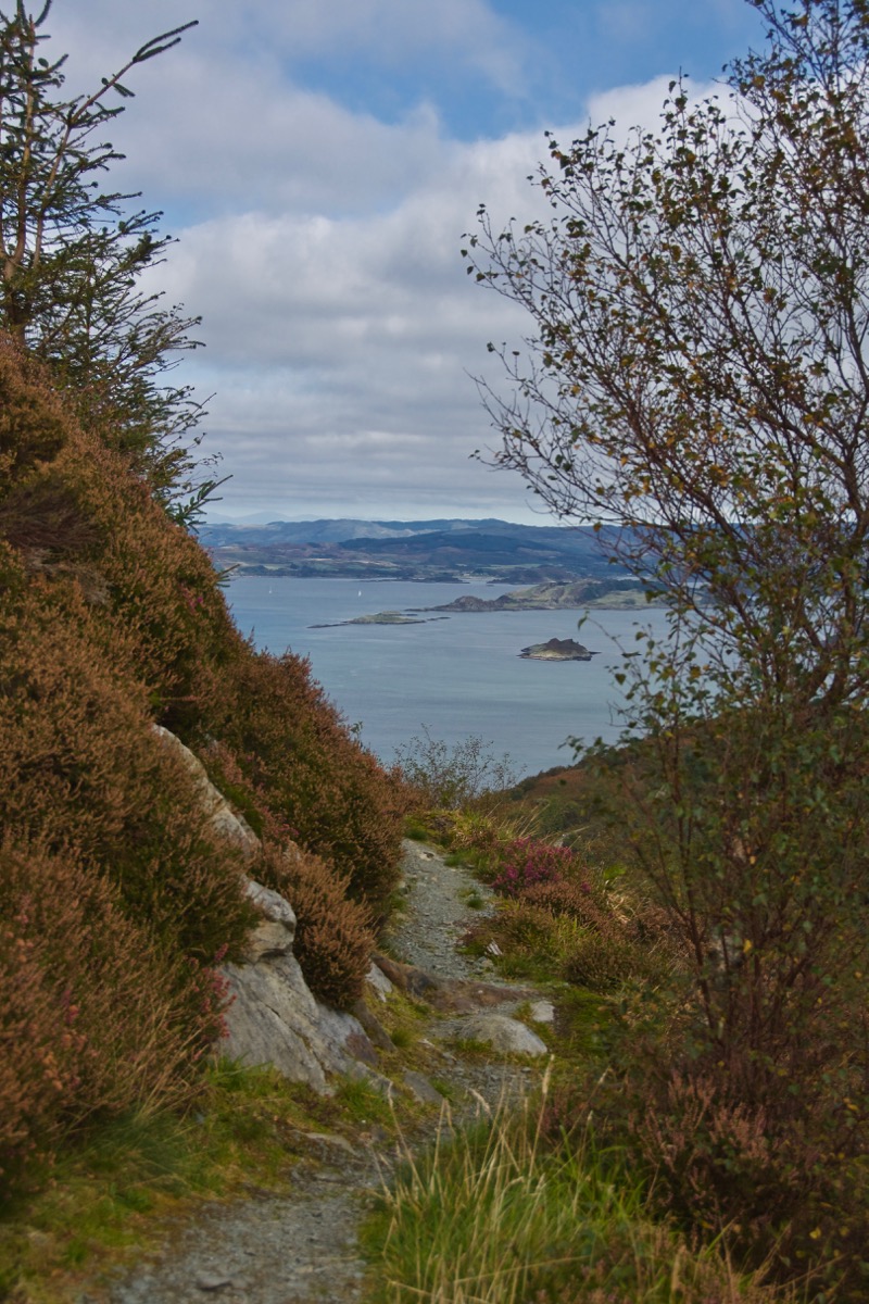
Above: around the side and (below) the entrance, looking back
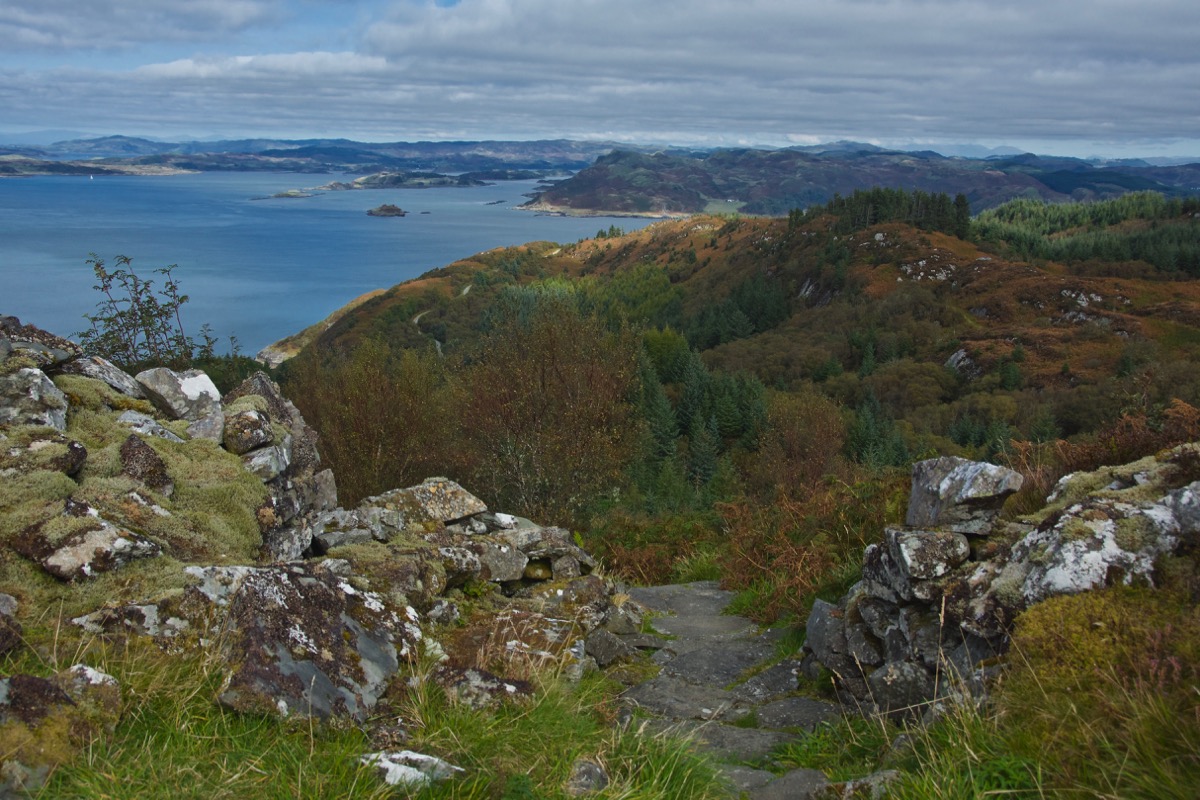
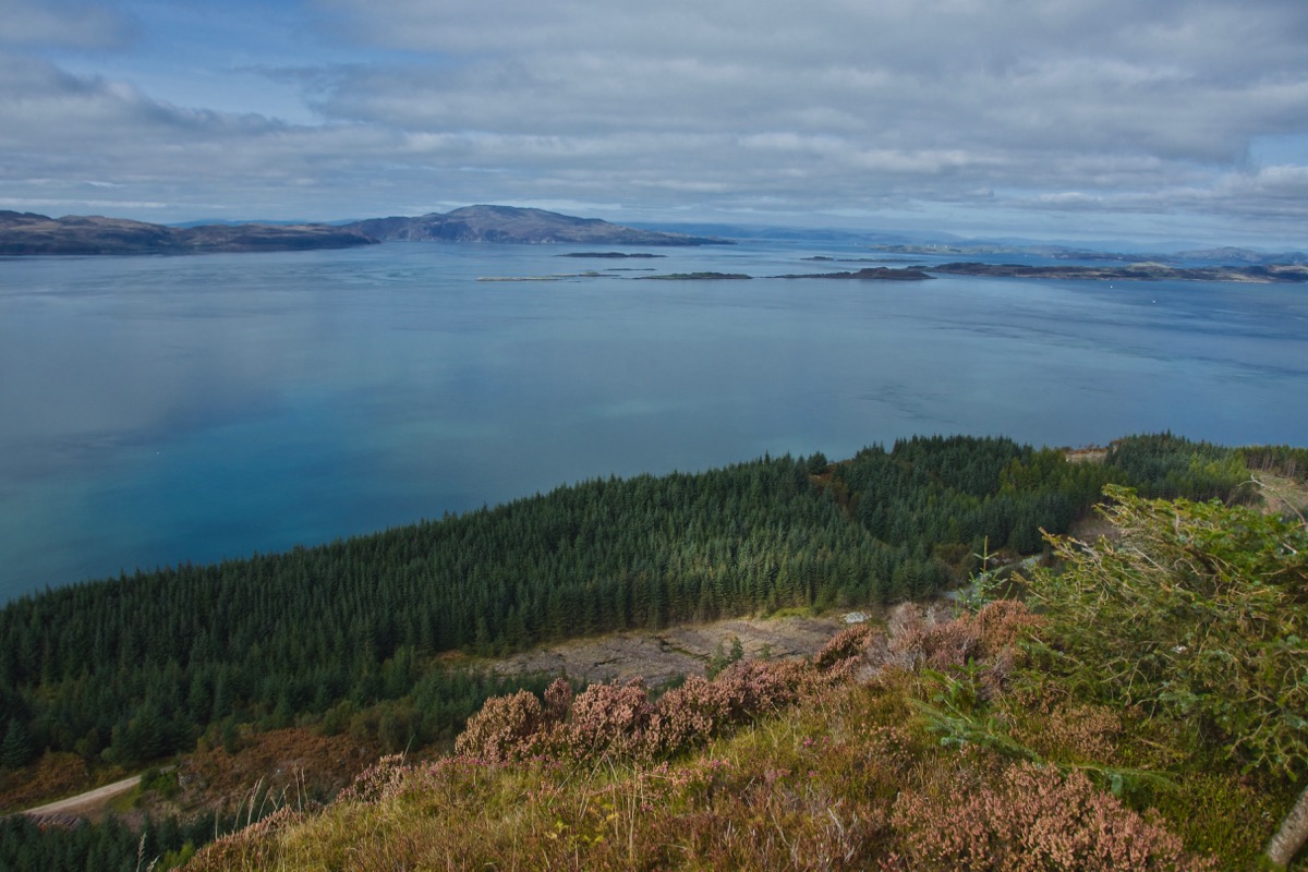
Above: looking north-west with the tip of Jura and Scarba in the distance. Below: looking south down Knapdale with Jura across the water
As for Castle Dounie itself, it’s hard to say what shape it is, or was: I would imagine it was adapted to fit the contours of the hill. A few courses of stonework survive, but it still requires a huge leap of imagination to picture it in its entirety – especially as we don’t know how tall it was. The walls vary in thickness, and apparently it is possible to detect two chambers on the east side. A Canmore survey (1979) says: ‘A large slab at the NE end of the N chamber may be the lowest course of a corbelled roof; in the same chamber, on the S wall, there is a small aumbry.’ The site has yielded very little in the way of archaeological finds: a couple of flint fragments and an iron pin.
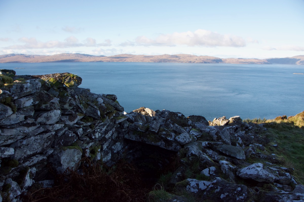
Above: one of the chambers
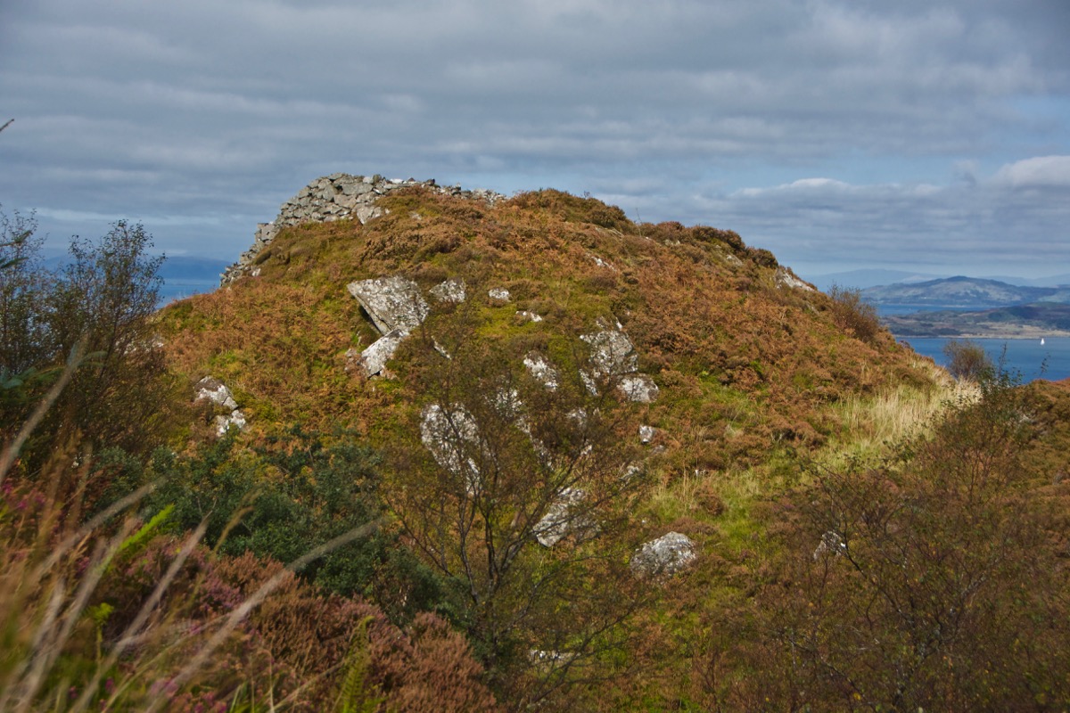
Who occupied this place? Did they live here, or did they just retreat to it in times of danger? Was someone posted here as a lookout? Whoever it was, they must have been hardy, that’s for sure. Even on a hot day, it was breezy. I tried to picture it in a January gale, with snow blowing between the cracks. Did they light a fire to keep warm? Maybe it was cosier than we think, at least by the standards of the time.
What was more obvious, though, was the significance of its position. Ships could have been spotted many miles away, allowing enough time for evasive action. Beacons could have been lit, forming a chain of warning from one hilltop to the next, the smoke visible by day and the flames at night. That must have made an impressive sight, especially from the sea. Maybe they were even lit in times of celebration: in the Argyll OS Name Books of 1868-78, the hill directly behind our house is recorded as Cnoc Smùdain, because it was here that bonfires were kindled ‘on any occasions of rejoicing, hence the name “Smoke Hill”.’
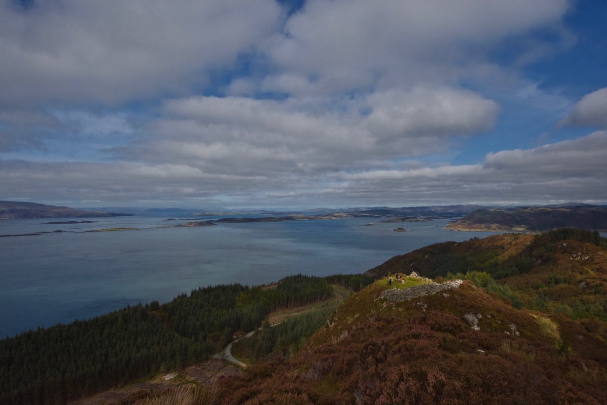
It would be so good to know what the people of Castle Dounie saw. Fleets of Norse longships and later the small Highland birlinns, assuming the place was still occupied at those times. Earlier, in the 5th century, they might have watched boats from Ireland bringing Fergus Mór mac Eirc and the first founders of Dál Riata (if that theory is true). They could have glimpsed the curraghs of St Brendan, St Columba and their many followers, coming to settle in their island cells. Maybe, in their dreams, they also saw Brecan, son of a Norse (some say Irish) king, go down with his boat in the turbulent waters between Scarba and Jura, thereby giving his name to the fierce whirlpool known as the Coire Bhreacain or Corryvreckan. Or perhaps they witnessed the arrival of Scota, daughter of an Egyptian pharaoh, who sailed from Ireland into the mouth of Loch Crinan and then mounted her steed and sprang ashore at Ardifour Point, leaving a deep and indelible hoof-print in the rock.
I think that’s what I shall have to bear in mind in the future, when I’m looking for a dun and debating whether or not it’s worth the boggy walk. It’s not about what you can see on the ground, or beneath it. It’s about what you can see in your mind’s eye when you stand there and look out.
Reference:
- Canmore
- Castle Dounie: Archaeological Evaluation, June 2011, Kilmartin Museum
- Scottish Archaeological Research Framework
- Archibald Campbell, ‘Waifs and Strays of Celtic Tradition’ (1899)
The hill forts of Britain and Ireland have been mapped on this incredible online resource, the result of a collaboration between Oxford University, Edinburgh University, and University College, Cork.

18 Comments
Ashley
A wonderfully enticing post (enticing me to visit the west coast). You say at the end that it’s about what can be seen in the mind’s eye, and of course everyone brings their own histories, visions. Putting the history to one side (difficult) the views, the physical land and seascapes are just stupendous and your photographs draw us there!
Jo Woolf
I’m glad to hear that, Ashley! Yes, very true, we all see different things and interpret these places in different ways, and that’s what’s so good about it.
davidoakesimages
I shall look at Dun’s with a bit more interest in future. I should have, but hadn’t made the connection between Dun,’s and Broch’s….. another good read and more questions to pursue.
Jo Woolf
Thanks, David! Such a puzzle, but that’s what makes these places so fascinating!
bitaboutbritain
Simply wonderful. Yet another one for the list (why does this only get longer?) Such a difference between the fortified duns of Scotland and the hillforts of, say, Wiltshire or Dorset. I’ve had the pleasure of visiting the Pictish fort of Dun da Lamh a couple of times – astonishing!
Jo Woolf
Thank you! My list doesn’t seem to get any shorter, either! Not heard of Dun da Lamh so had a quick Google – that looks interesting! There are just so many of them!
Finola
That last paragraph is a raisin d’être for us! Wonderful post – so evocative.
Jo Woolf
I can tell, Finola and I’m just so glad that there is an apparently endless supply of these places! Thank you. I’m looking forward to catching up on some of your own posts!
Moira Goodman
Wonderful story alongside beautiful pictures. There is no end to the intriguing places you stumble across in our country when exploring the countryside.
Jo Woolf
Thank you, Moira! I’m very lucky that there are so many! That’s what I love about it.
sulewath
I know duns are usually built on good vantage points but the view here is superb. I MUST visit it next time I’m in the area!
Jo Woolf
It’s pretty special! I hope you get the chance to visit it!
Bob Hay.
Incredible views Jo. just imagine how clearer those views would have been 2000 years ago before our modern air pollution.
The labour that went into these forts is remarkable. Imagine building a garden rockery and then look at what these people moved and raised. Their need must have been absolutely necessary, but who would be attacking them if they were for defence?
Maybe fear of being caught and carted off as slaves to Ireland or even Rome.
Jo Woolf
Yes, very true, Bob! I guess there would have been a lot more woodland around at that time, so it would have been important to be able to stand above it and get clear views. As for who might have been attacking them, who knows, and it depends so much on the time they were designed and built! And then you have the vitrified forts – the possible reasons why they were apparently burnt to such a degree that the stones fused together are baffling but very interesting!
Bob Hay
I read somewhere (might have been Erik von Daniken’s ‘Was God and Astronaut’) that they were burned by nuclear weapons ?
This explains how they could have been fused but not why. We’ll never know that.
https://www.scotsman.com/arts-and-culture/archaeologists-solve-ancient-mystery-melted-iron-age-fort-296899
That was a brilliant link Jo to the expandible map of the hill forts.
Jo Woolf
Thanks for the link, Bob! I was browsing myself yesterday and found a similar one. The whole question of why is very puzzling, as it seems to have actually weakened the structure. Very interesting!
Carol
I totally love your post, the links within it and the ancient images it helped me to create in my head.
Thank you!
Jo Woolf
Thank you! That’s really kind of you. We had a fab day up there – I love Castle Dounie and the walk up to it. So lucky to live with all these amazing ancient places all around us.